Drone Roof Inspection
Some roofs are too large to walk quickly, too steep to walk safely or too exposed to walk at all. A drone covers them in minutes, from altitude, and records every square foot in images that can be zoomed, compared and kept. For a property manager in Temple, TX facing a long roof or a tight deadline, aerial imaging is often the fastest way to learn which parts of a roof deserve attention first.
It is a screening tool, and we treat it that way. A drone sees color changes, ponding, debris, displaced materials, lifted edges and the layout of equipment. It does not feel a soft deck or press on a seam. The images tell us where to send people, and the people tell us what is actually wrong. That division of labor is the reason a good drone program shortens an inspection instead of replacing it. Used that way, the drone saves hours on the roof and keeps the crew's time where it counts.
What can the images show?
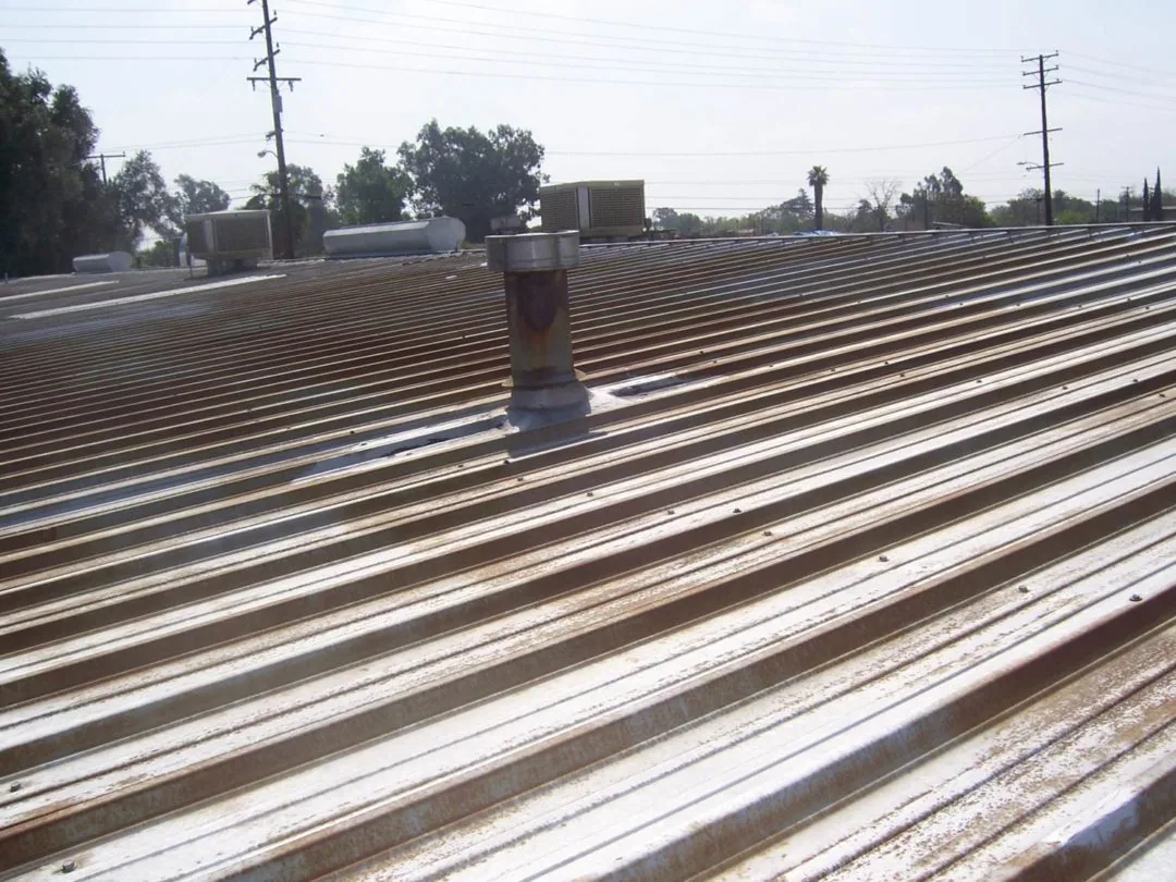
Surface staining and discoloration that follow drainage patterns. Standing water that persists long after rain. Debris near drains and scuppers. Loose or missing edge metal and coping. Damaged skylight domes and displaced panels. Patches from earlier repairs, which show up as different shades or textures. On metal roofs, lines of fastener heads and panel seams are visible, and a pattern of movement can be seen from above.
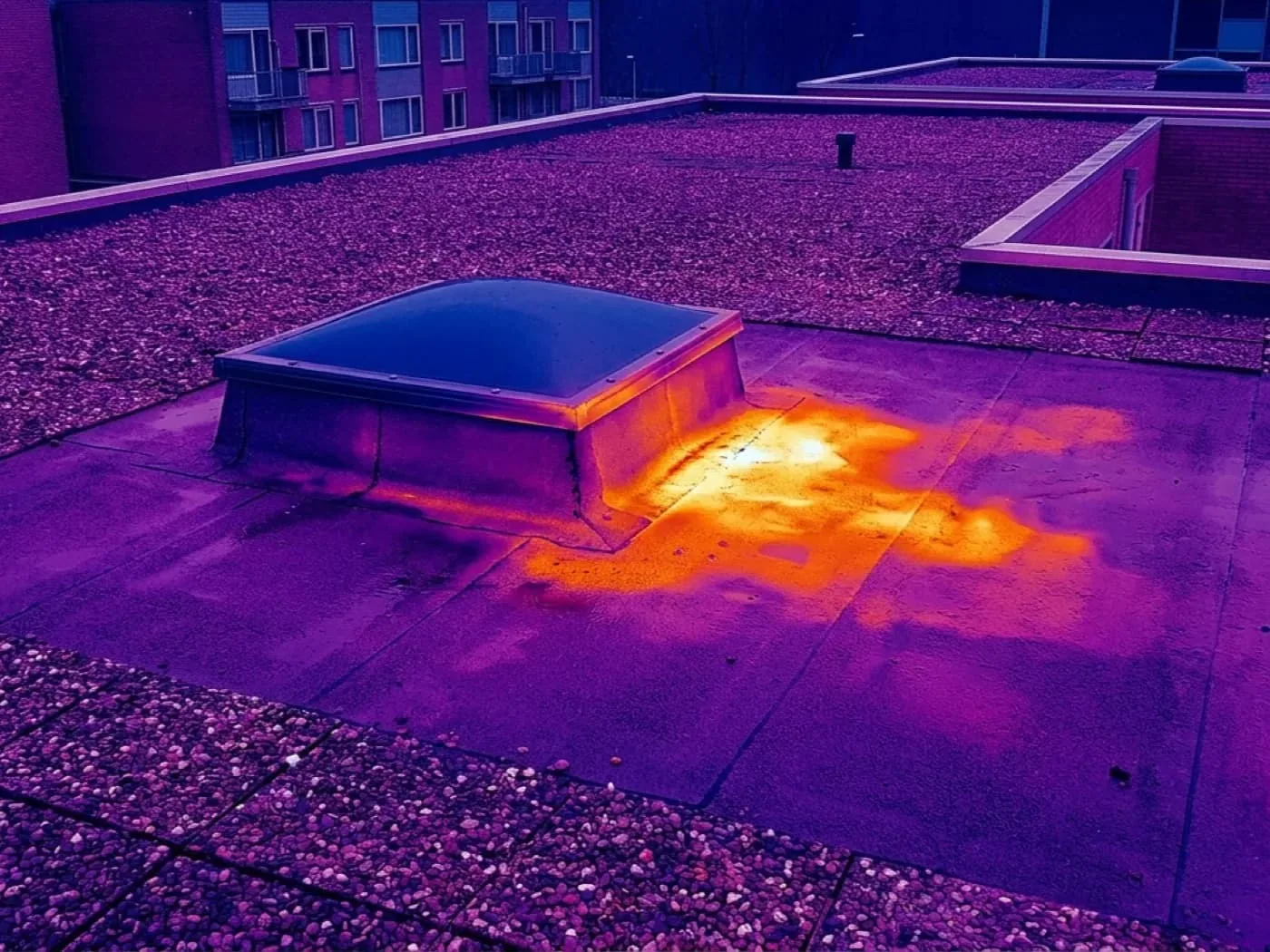
Thermal cameras add another layer on a suitable day, but surface thermography has limits and is not a substitute for a ground-based infrared moisture survey. We use it as a pointer to areas that need follow-up, not as a verdict.
Which roofs benefit most?
Large, low-slope roofs with long runs, such as the distribution and warehouse buildings that Temple has in its rail and industrial parks. Roofs with limited access, like those with no interior stair or with equipment that blocks routes. Steep metal roofs where walking is hazardous. And roofs of any size after a storm, when a fast overview helps rank buildings before a full walk can happen.
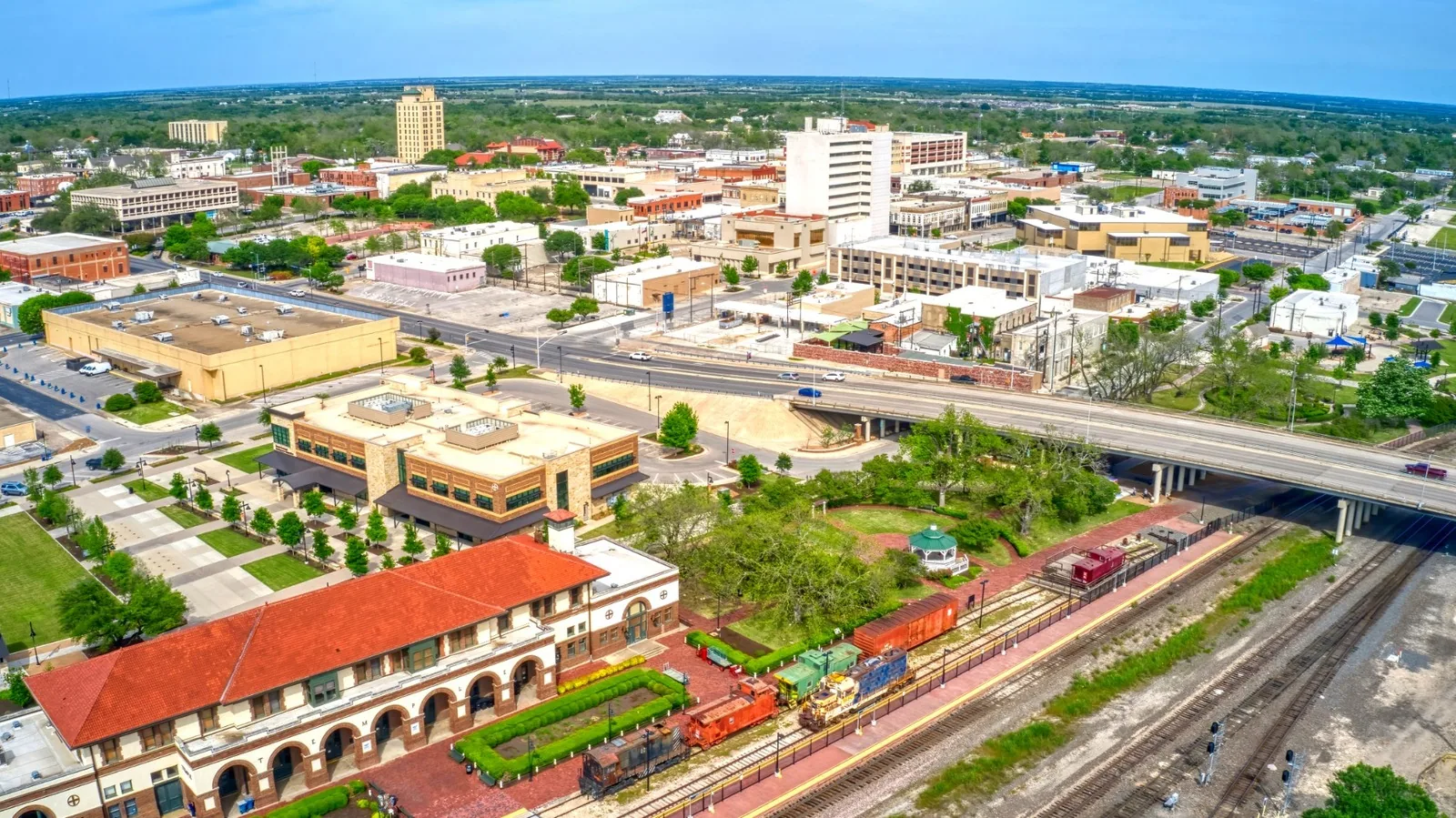
The Rail Park at Central Pointe and the Temple Industrial Park are the kind of setting where an owner with several distribution or industrial buildings can use aerial screening to decide which one gets the first walk. The same holds for owners with scattered buildings along the I-35 corridor.
How does drone work support storm response?
After the May 22, 2024 tornado, the National Weather Service documented businesses damaged across Temple, from stand-alone restaurants to strip centers. When a storm leaves many roofs to check, a drone lets a small team survey many of them in a day. The images help sort which buildings need an emergency visit, which need a scheduled inspection and which show no obvious damage.
That sorting is the value. It shortens the time between the storm and the first decision, and it creates a record of the roof's condition at a specific date, useful if a claim follows. For wind events, we check the edges, corners and equipment first, since those are the parts of a roof the wind attacks first. A wind damage repair scope starts with exactly this kind of evidence.
How is a flight planned?
Planning starts with the roof plan or a satellite view, the building list and the question to be answered. We set the flight pattern so every area is covered with overlap, choose altitudes that balance coverage and detail, and schedule for light that avoids hard glare on membranes. A reflective white roof at midday can wash out detail, while low morning light brings out ponding and surface texture.
We also plan for obstacles: rooftop units, antennas, power lines and trees near the building. A pilot and a visual observer work together on larger sites. For multi-building properties, the flight order follows the roof plan so the images arrive in a sequence that matches the report.
What drives the scope and the effort?
Roof area, building count, obstacles and the level of detail required. A single building with a clean roof is a short mission. A campus of many buildings, each with equipment and shaded areas, takes longer and produces more images to review. Repeat visits on the same building are quicker because the flight plan is already set.
Owners with scattered properties along I-35, from Salado up through Temple, can group flights by route to reduce travel time. The review step, where an experienced roofer goes through the images, is the part that turns data into a decision, and we keep that step with people who know what failure looks like.
What are the limits and the rules?
Flights follow federal aviation rules and local restrictions. Airspace near the Draughon-Miller Central Texas Regional Airport, which serves general aviation in Temple, may require clearance before a flight, and we check airspace status before any job. Weather also limits flights: high wind, rain and low visibility end a session.
Privacy and operations matter too. Tenants and neighbors are informed before flights over occupied property, and flights stay within the property boundary, with takeoff and landing points agreed in advance with the building contact. Images belong to the owner and are delivered in organized folders tied to the roof plan, so they can be used by facilities staff, lenders and insurers without sorting.
What comes after the flight?
A short summary of what the images show, with annotated photographs of the areas of concern. From there, the recommendation is usually a hands-on roof inspection of the flagged areas, targeted moisture testing or a straightforward repair if the issue is obvious. If the roof is clearly beyond repair, the images support the conversation about replacement.
For owners who inspect on a schedule, repeat flights at the same altitude and angle produce images that can be compared from visit to visit. That makes slow changes visible: a growing ponding area, spreading discoloration, a seam that has crept. It is cheaper to see those early than to explain them later, and the side-by-side images give a facility team something concrete to bring to the capital budget meeting.
Commercial Roofing Questions
Is a drone inspection enough on its own?
It is enough to screen a roof and to document its exterior condition. It is not enough to confirm moisture in the insulation or to test a seam. For decisions that carry significant cost, we pair the flight with a walk and, when warranted, moisture testing.
Do you need access to the building to fly?
We need permission from the owner or manager and notice to tenants. We do not need to enter the building for the flight, though a contact on site helps with gates and parking.
How soon after a storm can the roof be imaged?
As soon as weather and airspace permit. Flights need calm, dry conditions and clear visibility, so the first window after a storm passes is typically the best chance for a quick survey.
Can the images be used for an insurance claim?
They can support one, as a dated record of the roof's appearance. A claim typically also needs close-up documentation of damage and a written report, which we prepare from the follow-up visit.
How are the images delivered?
In organized folders with annotated overview shots, tied to the roof plan, plus a short summary. The images are yours to share with managers, insurers and lenders, and we keep a copy on file so a later visit can be compared against the same angles and altitudes.